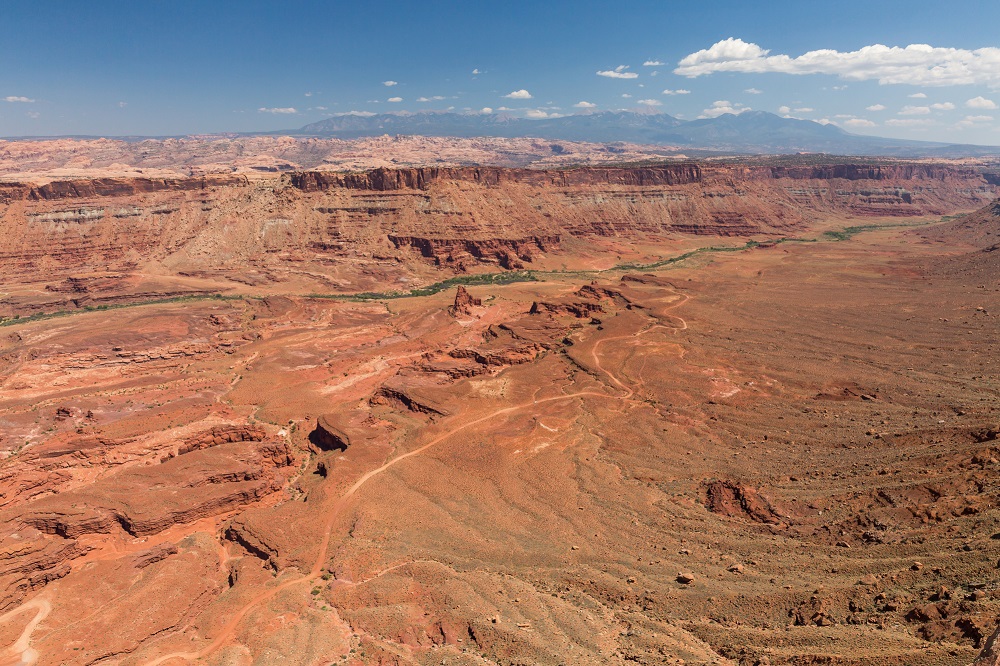
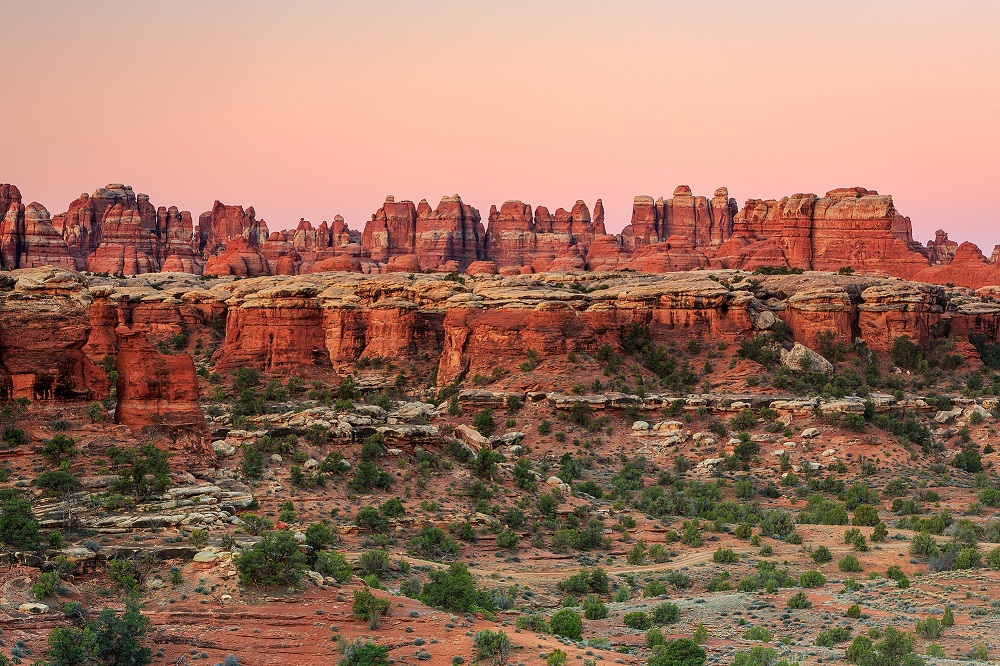
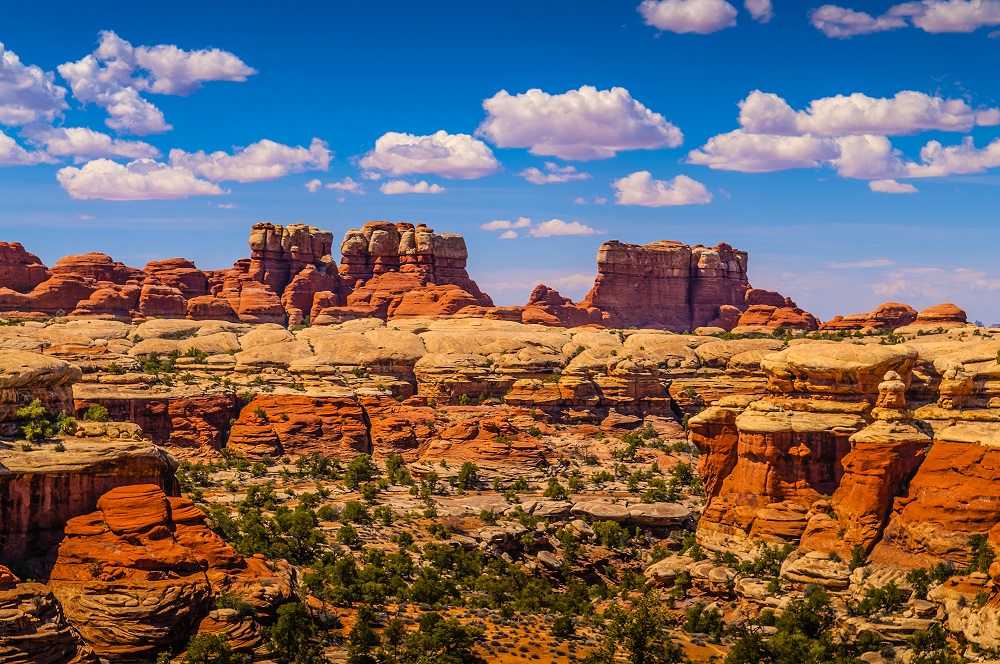
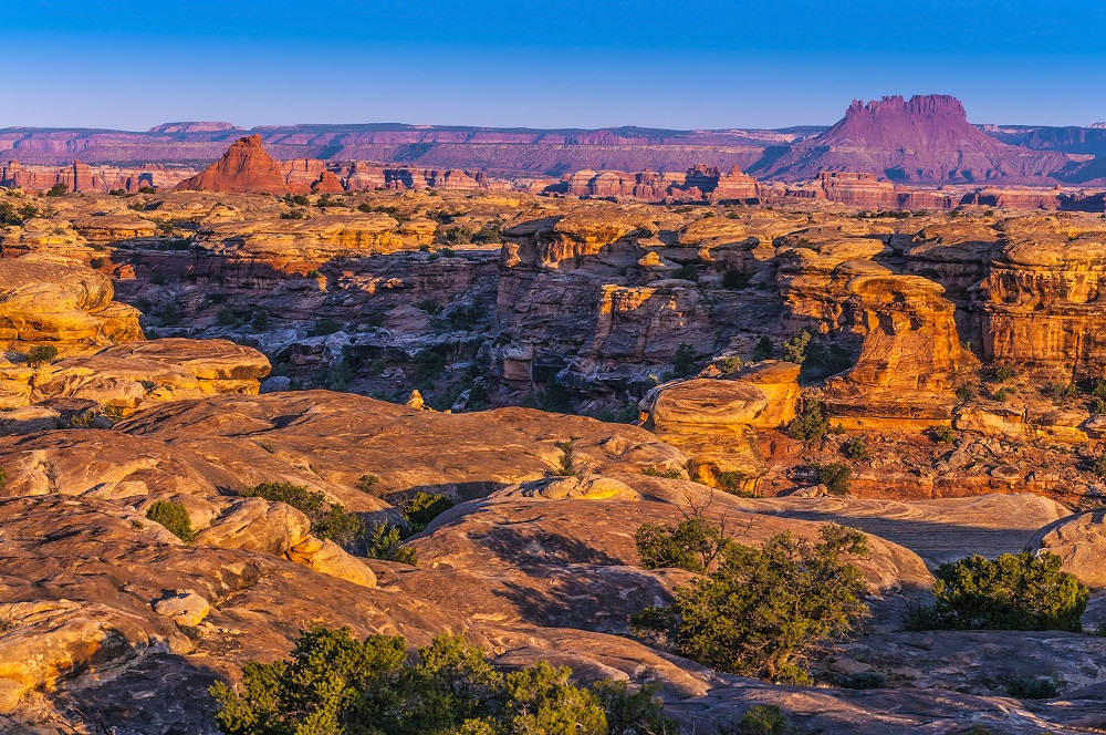
The Needles District is located in the southeast corner of Canyonlands National Park and is named for the spires of Cedar Mesa Sandstone in the area. The Needles are a solid addition to park itineraries when visitors have an extra day for their adventure to Arches and Canyonlands. It is reached by traveling south from Moab on US 191 and then west on UT 211. The entrance is approximately a two hour drive from the entrance to Island in the Sky.
The Needles Visitor Center
The visitor center is open seasonally from March through November with its standard hours from 8 AM to 3:30 PM. Bathrooms and water are reportedly available year round.
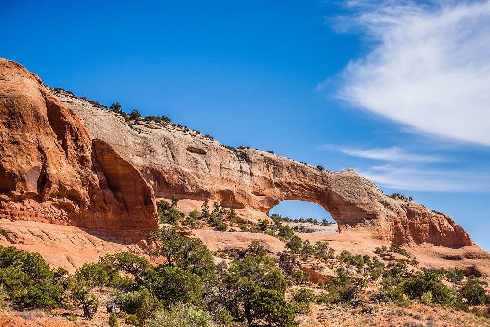
Wooden Shoe Arch
This popular arch looks like the wooden Dutch shoes known as clogs. It is visible from the Wooden Shoe Overlook along Utah 211 past the visitor center.
Elephant Hill
A picturesque destination for hiking and four wheel drive vehicles in the Needles.
Pothole Point
An half mile hike to an area with stunning views and potholes that are sometimes filled with water.
Confluence Overlook
Confluence Overlook can be reached by a hiking trail or 4WD road taking visitors to within a half mile of the overlook. It overlooks the intersection of the Green River and Colorado River and allows visitors to see all three districts of the park, including the Maze. The hiking trail is 11 miles roundtrip from the pavement or one mile roundtrip from the end of the 4WD road.
Squaw Flat Campground
The Needles campground has three group sites and 25 individual sites. Some individual campsites (12 in Loop B) are reservable in the spring and fall with it first come, first served the rest of the year. Group reservations are available between mid-march and mid-November. The campsites in Loop B are closed in summer and winter when it is less busy. Loop A is open year round.
Nearby Attractions to the Needles District
The trip to and from Canyonland National Park Needles via Moab offers a number of other tourist attractions to consider along the way. These include:
Wilson Arch
Wilson Arch is a popular stop on BLM land along US 191 on the drive to the Needles from Moab. It is located about 25 miles south of Moab. There is a view of Wilson Arch from the parking area and a short trail to reach the arch.
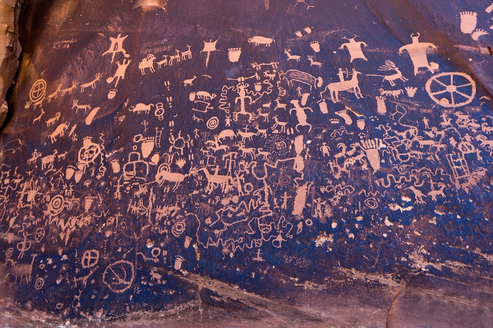
Newspaper Rock
Newspaper Rock State Historical Monument is located along Utah State Highway 211 on the way to the Needles District. It features a rock panel with one of the largest known collections of petroglyphs. The rock forms a part of the Wingate sandstone cliffs. The park is located 12 miles from US 191 and 30 miles from the Canyonlands park boundary.
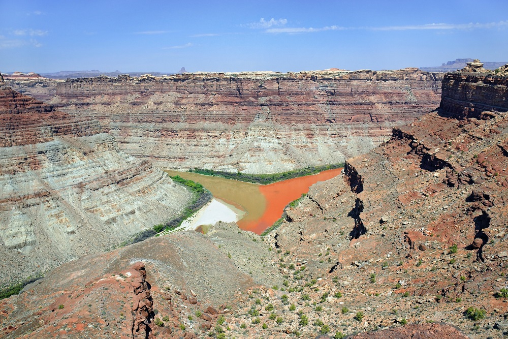
Anticline Overlook
Anticline Overlook provides views of the Colorado River and Dead Horse Point. It is named for the Kane Creek Anticline visible across the Colorado River. The overlook is a little over 20 miles past the Needles Overlook and is accessible via a maintained gravel road. The Intrepid Potash mining facility and solar evaporation ponds are across the river from the location.