
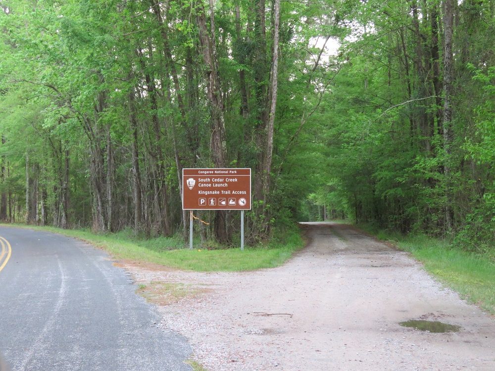
South Cedar Creek is a canoe launch and trailhead parking area in Congaree National Park. It is located on the northern boundary of the park and is nearby to a short bridge over Cedar Creek.
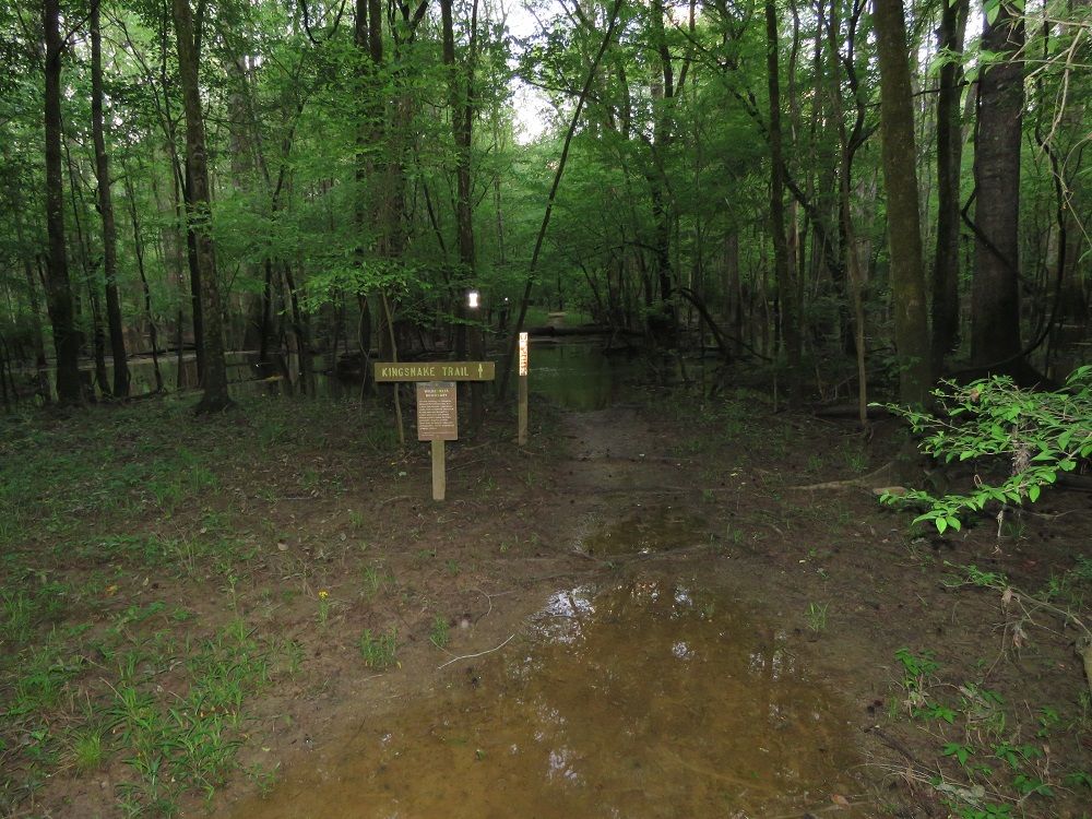
The parking area is also the trailhead for Kingsnake Trail, a 7.4 mile out and back trail through Congaree National Park. Kingsnake Trail connects with Oakridge Trail for those seeking a longer hike. On the trail map, it looks like it also connects with Weston Lake Loop trail by bridge.
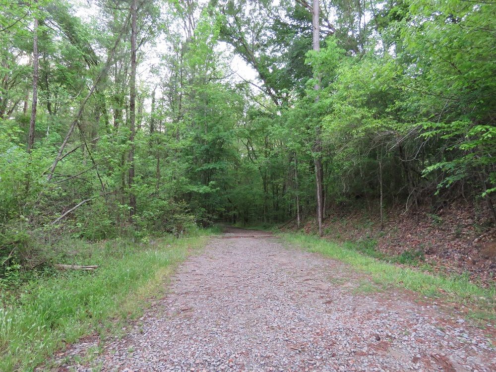
From the park entrance and visitor center, this section is reached by driving east on Old Bluff Road and then turning south on South Cedar Creek Road. It is roughly a five mile drive that takes about ten minutes. Most of the drive is outside of the park.
The parking area was larger than we expected given the size of the Bannister Bridge parking area. If memory serves me correctly, there were also primitive toilets here though we did not use them.
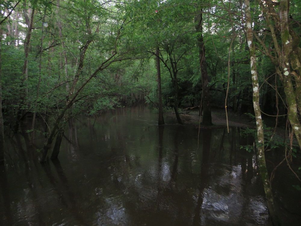
From the landing, the Cedar Creek Canoe trail is approximately six miles to the Congaree River and another three miles to the Highway 601 Bates Bridge landing.
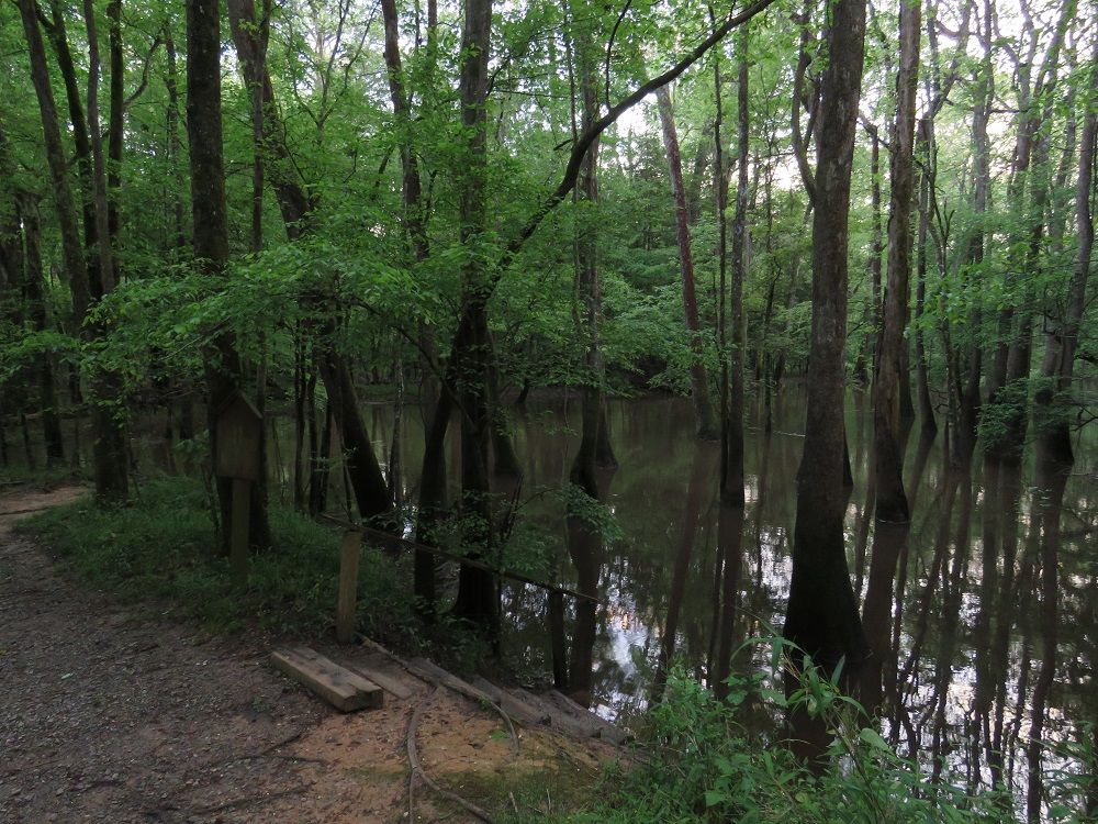
Flood stage at Cedar Creek is eight feet. The USGS maintains a water level gauge for Cedar Creek. Conditions can be difficult when the water level is above seven feet.
Congaree National Park Hotels
Congaree Camping
Congaree Canoe Trail
Congaree Fireflies
Congaree Weather
Congaree Wildlife
Congaree Boardwalk Loop
Congaree Champion Trees
Bates Ferry
Highway 601 Bridge Landing
South Cedar Creek Canoe Launch
Bannister Bridge Canoe Launch
Why is Congaree a National Park?
Best Time to Visit
Congaree Bluffs Heritage Preserve