
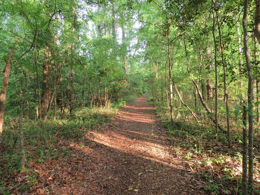
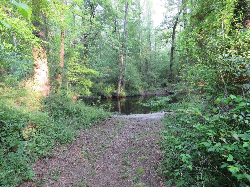
Bannister Bridge is located in the northwest corner of Congaree National Park at the intersection of Cedar Creek with Old Bluff Road. There is a small parking area with a short trail to the boat launch. Individuals with kayaks or canoes will need to hand carry their gear over this short stretch as there is no direct vehicle access.
From this area, the Cedar Creek Canoe trail travels through Congaree National Park and the swamp 6 miles to Cedar Creek Landing and 15 miles to the Congaree River. Cedar Creek Landing is marked by the bridge over Cedar Creek. The takeout for those traveling down to the Congaree River is located at the Highway 601 bridge on the north side of the Congaree River.
Be sure to check the water levels of Cedar Creek before attempting the trip. If the river is too low or too high, you may not want to attempt the trip. The National Park Service recommends that the water level be between 4 and 7 feet in depth.
Another problem with this trip can be the need to portage around fallen trees. When we were there at a time of high water and flooding, there was a fallen tree just downstream from the canoe launch. You can check at the visitor center on the number of down trees and portages anticipated in order to make the trip.
When the water is above seven feet, the trip is not recommended because the creek spreads out over the swamp and it is easy to get lost in the backcountry.
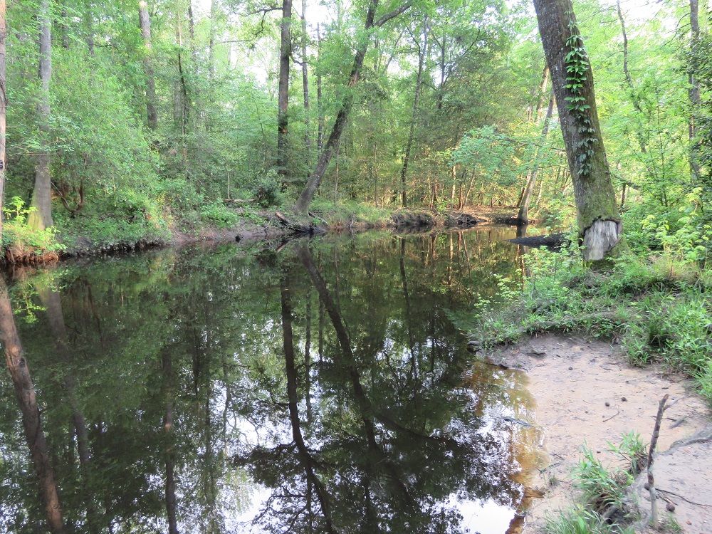
For those planning a trip to the Congaree National Park without a canoe or kayak, the Bannister Bridge Canoe Launch is probably one that you can safely skip over. It is a pretty section of the river and only a short walk down to it from the parking area, but we did not see much else to do in the area. The best use of this area for other park visitors might be fishing.
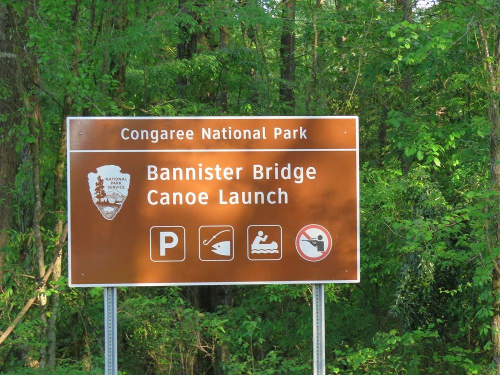
The Bannister Bridge Canoe Launch is only a couple miles from the Visitor Center. We reached it fairly quickly by car.
Congaree National Park Hotels
Congaree Camping
Congaree Canoe Trail
Congaree Fireflies
Congaree Weather
Congaree Wildlife
Congaree Boardwalk Loop
Congaree Champion Trees
Bates Ferry
Highway 601 Bridge Landing
South Cedar Creek Canoe Launch
Bannister Bridge Canoe Launch
Why is Congaree a National Park?
Best Time to Visit
Congaree Bluffs Heritage Preserve